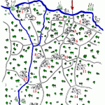
 During the Dark Ages, at the time of the original “dens” or clearings in the forest where herdsmen brought their animals to feed, Marden was not “on the map”. However the names of those dens still persist today:
1. Reed
2. Chainhurst (Haydherst)
3. Tilden
4. Hertsfield (Hurstfield)
5. Underlyn (Underden)
6. St Annes Green
7. Bogden (Bugindenne)
8. Pattenden
9. West Marden
10. East Marden
11. Mountain Farm
12. Little Cheveney
13. Beech (Bisbiche Den)
14. Opp. Thorn (Chilinden)
15. Great Cheveney
16. Winchet Hill
Thumbnails of Maps (please click on them to see at full size)
| A modern map “The Dens of Marden”, drawn by Bob Highwood of Marden, shows their positions. | |
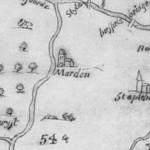
| The first large scale map of Kent map published in 1569 by Philip Symonson. | |
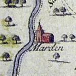
| Another was first published in 1611 by John Speed | |
| And this one was engraved a hundred years later by Samuel Parker in 1719 |
All show Marden as little more than the Church surrounded by woods.
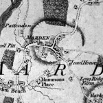
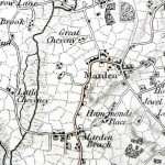
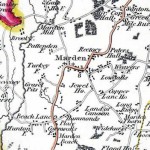
However as time goes on much more detail appears. The pattern of roads begins to look familiar today, and dwellings are shown as well as outlying areas like Marden Beech and Marden Thorn. By the end 18th Century the Military were mapping the country and details of fields began to appear.
| This Andrews and Dury’s map of Kent, 50 years later, shows much more sophistication | |
| A Map of the Hundred of Marden first published in 1778 by Hasted shows the Vicarage. | |
| “An entirely new and accurate Survey of the County of Kent” by Captain William Mudge of the Royal Artillery | |
| More detail of the surrounding farms was shown in a map which is probably by Christopher and John Greenwood, first published in 1821. |
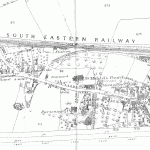
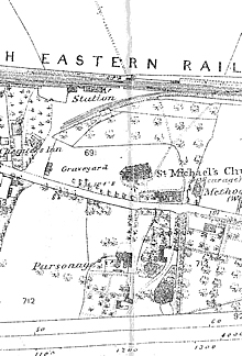
Finally a map of 1866 shows the arrival of the railway, the station, and Railway Cottages. However, interestingly, it still shows the turnpikes (TP) at the Maidstone Road and Pattenden Lane. The Church has been supplemented by the Wesleyan Chapel and the Congregational Church (Independent Church) and there is a Parsonage opposite the graveyard, as well as the Vicarage in Maidstone Road. The Post Office was at the corner of Maidstone Road and the High Street. The circle of the Cockpit can be clearly seen though it is not marked.

